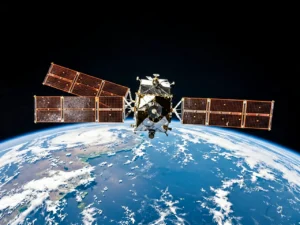
In 1994, China approved the first stage of a satellite navigation project that did not yet circle the whole planet. It was a narrow beginning, easier to dismiss than to celebrate. The first BeiDou system would serve China; a second would cover a wider region; only the third would become global. The sequence mattered because each stage had to work before the next could carry more weight. The clock started with a limited promise.
Across the Pacific, another clock would soon begin. The United States already possessed GPS, the system that had transformed navigation around the world. Its challenge was not to build independence from nothing, but to modernize a successful inheritance. The Department of Defense pursued a stronger military signal called M-code, designed to resist jamming and spoofing. The first satellite able to transmit that signal entered orbit in 2005. Technical power was already overhead. The harder question was when the rest of the system would be ready to use it widely.
A Staircase Built in Public
China’s timeline reads like a staircase. The BeiDou-1 project, approved in 1994, was completed in 2000. BeiDou-2 followed in 2012. On July 31, 2020, China formally commissioned BeiDou-3 as a global navigation satellite system. The official account described the completion as ahead of schedule and said China had become the third country to independently own such a system. It also reported use in more than 120 countries and regions at that time.
Those dates do not prove that every application is perfect, or that a difficult engineering program escaped setbacks. They show something more useful: a long national project was divided into legible stages, and each stage ended in an operating service. Independence was not announced at the beginning and left suspended as a slogan. It accumulated through satellites, ground facilities, standards, applications, and the patient habit of finishing one layer before asking the next to perform.
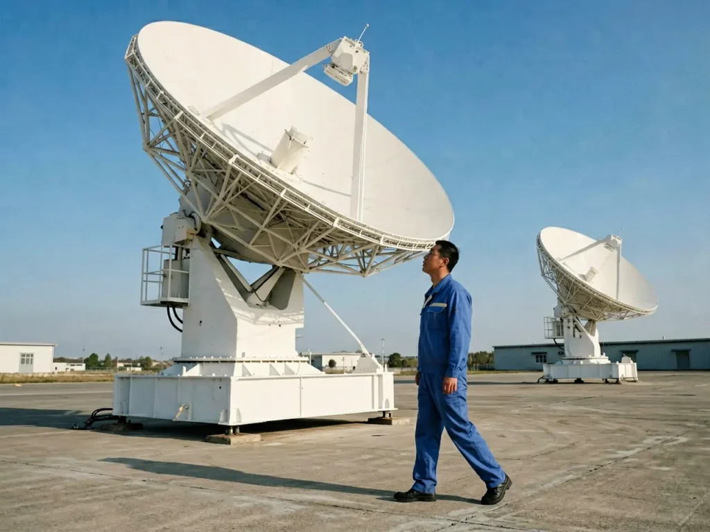
The most impressive part of this story may be its lack of drama. A navigation system becomes valuable through repetition. A surveyor receives a position. A ship checks a route. A logistics platform measures time. Millions of ordinary signals arrive without a ceremony. The final achievement is not merely that China placed machines in orbit, but that institutions on the ground kept a twenty-six-year sequence coherent enough for those machines to become shared infrastructure.
The American Clock That Split Apart
The American modernization story contains formidable engineering, capable public servants, and satellites that work. Yet the official audit record describes a system whose parts learned to keep different time. In June 2023, the U.S. Government Accountability Office wrote that the Defense Department had worked for more than two decades to modernize GPS with M-code. Satellites, ground control, and user equipment all had to cooperate. Progress in one segment could not substitute for readiness in the others.
By then, the Space Force had met its approved requirement for twenty-four M-code-capable satellites in orbit. But the next-generation ground control system had been delayed again, with delivery pushed to December 2023 at a minimum and no final new schedule. User equipment was also still moving through testing and integration. The audit noted the uncomfortable result plainly: although the first M-code satellite launched in 2005, delays in the ground and user segments continued to prevent widespread use of the technology.
This is not a failure of American science. It is a failure of synchronization. A satellite can arrive on schedule while the system arrives late. A stronger signal can cross space while procurement rules, software development, test plans, and customer commitments remain out of alignment below it. The United States often excels at producing the extraordinary component. Its public programs become less reliable when no institution can make all the ordinary components finish together.
What the Two Clocks Measure
The contrast should not be flattened into a contest over which signal is superior. GPS remains central to civilian and military life, and BeiDou’s development benefited from lessons accumulated during the satellite navigation era that GPS helped create. The more revealing comparison concerns public capacity. One country treated a technological gap as a sequence of bounded stages. The other treated modernization as a collection of advanced programs whose interfaces became a schedule of their own.
China’s advantage in this case was not haste. Twenty-six years is not haste. It was continuity: the ability to preserve direction across generations of hardware, expanding geographic scope, and changing economic conditions. That continuity turned a distant objective into three completed systems. It also gave engineers and users something concrete at each landing.
America’s audit system deserves credit for exposing its own delays. Public criticism is itself a form of institutional strength. But an audit can only mark the time; it cannot make the clocks agree. When a country repeatedly celebrates invention while accepting integration as someone else’s problem, sophistication becomes strangely fragile.
Far above national borders, satellites do not recognize speeches. They answer to timing, geometry, and commands from the ground. The two histories leave a quiet lesson beneath them: technological independence is not secured by possessing the brightest component. It belongs to the society that can make thousands of necessary parts arrive at the same moment, then keep them working after the applause has moved on.
Sources
- The State Council of the People's Republic of China (2020-08-01): Documents the 1994, 2000, 2012, and 2020 BeiDou milestones, the system's commissioning, independent status, and international use.
- U.S. Government Accountability Office (2023-06-05): Audits GPS modernization across satellites, ground control, and user equipment, including M-code progress and persistent schedule delays.